At Moonland Group, we provide expert surveying, from aerial to engineering, leveraging advanced technology for detailed, dependable results.
Our range of services, including mobile and utility mapping, BIM modeling, 3D laser and drone surveys, offer architects, town planners and developers, precise data for confident design and construction. Committed to quality and surety, our team ensures attention to detail, and precision in every measurement.
Moonland specialises in land surveying and development services to assist clients with projects ranging from subdivisions, development planning, construction and, amongst many others, point cloud surveys.
Sub-dividing land in small scale development and high rise.
Find Out MoreModifying or removing restrictions on title to increase land value.
Claiming ownership of land being adversely occupied.
Measuring commercial areas for leasing and insurance purposes.
Some of our recent surveying intitiatives
 Kingsway, Glen Waverley
Moonland provided comprehensive surveying services for the precinct, conducting most of the work at night to minimise disruption to shop owners, customers, and the general public in the busy area.
 Warrandyte-Heidelberg Road, Heidelberg
Moonland Group provided end-to-end surveying services for a major development on Warrandyte-Heidelberg Road, including feature, level, and title re-establishment surveys, laser scanning of a heritage dwelling, subdivision design, and council certification.
 Rural Project
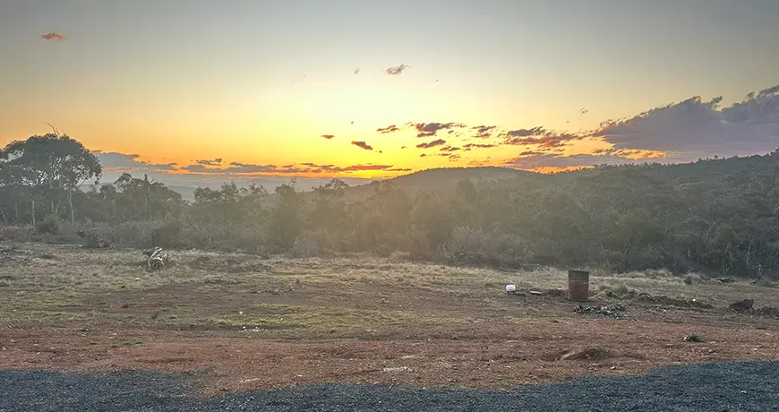
 Moonland Group utilised advanced drone technology to create an ortho-photo and terrain model for a rural project, ensuring safety and precision by eliminating on-ground risks. This approach delivered accurate results efficiently while prioritising personnel safety.

Our services combine modern technology with traditional diligence, ensuring that every project detail is captured precisely, empowering confidence and assured success.
We combine speed with accuracy, providing clients with the reliability and detailed focus needed in today’s dynamic development landscape.


